The institutions involved in this project are:
2) Norwegian partner: Norsk Regnesentral (NR) www.nr.no
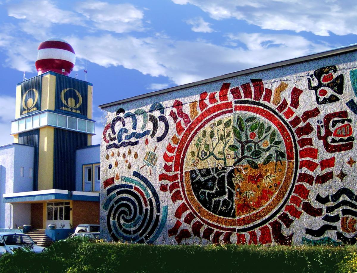
The National Meteorological Administration of Romania (ANM) is a legal entity of national and public interest whose main purpose is to ensure the meteorological protection of life and property. The NMA manages its own financial resources, which are reinvested in specific research and development activities. The main tasks of the NMA are:
• Provides forecasts and weather warnings and operational meteorological services for agriculture, transport, national defense and security;
• Coordinates the activity of the National Meteorological Observation Network within 7 Regional Meteorological Centers, which includes: 158 meteorological stations, 2 aerodrome stations, 8 Doppler radar systems, 55 agrometeorological stations, 2 EUMETCast satellite systems and 8 actinometric stations;
• Providing and running models and weather forecasting systems appropriate to the geographic area of the country;
• Manages the national meteorological database, provides climate data and monitors the climate;
• Monitor and develop warnings for extreme weather / hydrological events, including floods related to snow melt and avalanche risk;
• Research activity refers to: numerical weather modeling, climate variability and climate change, atmospheric physics and air pollution monitoring, satellite meteorology, remote sensing and GIS.
In recent years NMA has initiated and coordinated projects within national programs such as AEROSPATIAL, CEEX, PNCDI II and STAR. The NMA has important management experience in complex research activities within international research programs such as the North Atlantic Treaty Organization (NATO), Science for Peace, FP5, PC6, FP7, LIFE and SEE: FP7 SPACE, CRYOLAND GMES Service Snow and Land Ice (2011-2015); The EU Program "Stopping Desertification in Europe" MIDMURES - Mitigation of drought in vulnerable areas of Mures (2010-2012), SEERISK "Assessment and management of disaster risk in the Dunarea macro region" (2012-2014), SEE "Merging remote sensing, modeling and in-situ data on snow layer parameters and related gaps in climate change" (SNOWBALL) (2014-2017) - snowball.meteoromania.ro.
The NMA, as a national provider of environmental data, is very interested in further developing its data collection capabilities with observations from new satellite sensors, with aerial and in situ observations and methodologies, that can help mitigate variability induced by climatic changes variability of the environmental variables that affect the accuracy of estimated amount of water stored for hydropower production.
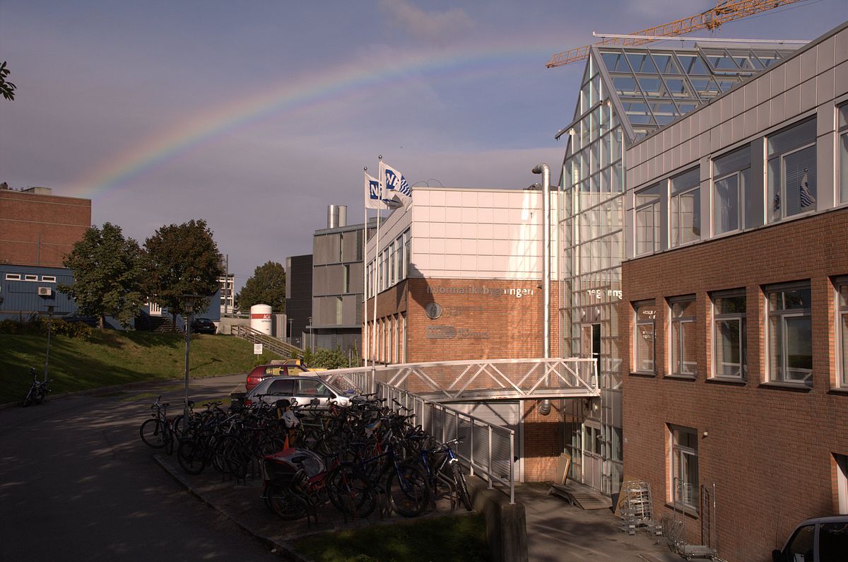
The Norwegian Computing Center (NR) is active in the research and development of methodologies for analyzing digital remote sensing data received from satellites and aircraft. Fields of application include environmental monitoring, climate change monitoring, environmental emergencies, natural resource mapping, and map review. The EO section of NR participated in many international projects with the remote sensing component. NR is specialized in automatic and semi-automatic processing methods of remote sensing data, including satellite images and Laser Scanning Data (ALS). NR has developed automatic processing for time series of satellite data, such as MODIS, Medium Resolution Spectrometer (MERIS), AATSR, Landsat etc. The processing steps include: atmospheric corrections, shadow and clouds masking, estimation of basic parameters such as snow surface temperature, snow cover, etc., changing the projection from the satellite to a map projection (for example, geographic , Universal Transverse Mercator - UTM, etc.), merging of intermediate results from different sensors, estimation of derivate parameters, combination of time-sensitive images (to eliminate clouds), masking (eg ocean, lakes and rivers) and color coding of final maps. NR has also developed methods for detecting and ranking objects on high-resolution optical images (eg Quickbird, Worldview), SAR images (for example, Radarsat, Advanced Envisaged Radar - ASAR) and ALS data.
NR has participated in several international projects where the assessment of environmental variables is an essential part. NR wants to share their knowledge regarding the top technologies and methods used to obtain more accurate estimates of water resources available for hydropower generation, using data from land observation satellites, aerial observations and in situ.
There is a fruitful collaboration already established between project partners (NR and NMA) through the EEA / Norway-funded project "Merging remote sensing, modeling and in-situ data on snow cover parameters and related hazards from the perspective of climate change "(SNOWBALL - 2014 -2017).


